Neighborhood Run Progress
May 26, 2019 • #I’m making quick work of the streets of Shore Acres. Yesterday I set up a quick and dirty local database that I could load the tracks into. I’m just using the GPX export feature on each activity and the ogr2ogr command line utility to import each one.
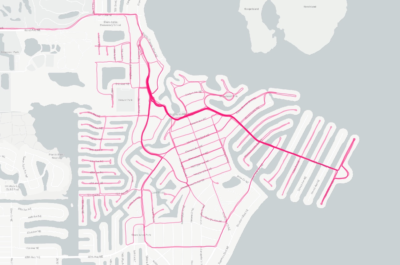
Now I can see the streets get painted as I complete the job.
I ran a quick calculation on the street centerline data to estimate the total distance of roadway and counted about 37 miles. Once I’m done with each section I’ll tabulate how much total running it took to cover all the combined distances.
✦
✦
Related Posts
- Scans Update — Another round of scans at Mayo Clinic
- Goal Progress: November — Tracking my November goal progress for the year.
- Goal Progress: October — Tracking my October goal progress for the year.