🏢 Open Buildings →
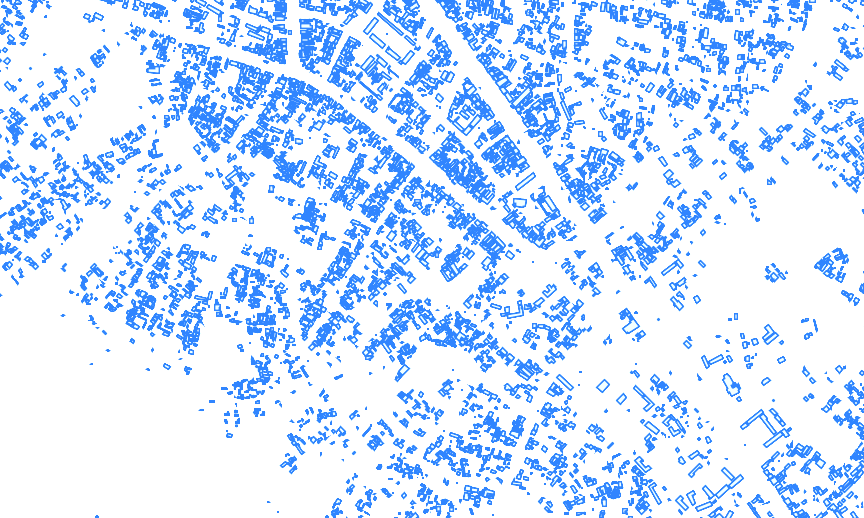
July 18, 2023 • #Google has released a massive dataset of building footprints, extracted from high resolution satellite imagery:
The dataset contains 1.8 billion building detections, across an inference area of 58M km2 within Africa, South Asia, South-East Asia, Latin America and the Caribbean.

1.8 billion features is enormous, and it doesn’t even cover North America, Western Europe, most of China, Japan, or Australia. Incredible stuff, licensed under CC-BY-4 and ODbL.
✦
Related Posts
- OpenStreetMap is Having a Moment — Joe Morrison updates us on the state corporate investment in OpenStreetMap.
- Weekend Reading: Chess, COVID Tracking, and Note Types —
- Weekend Reading: Landgrid, Quantified Self, and Tesla Teardown — Landgrid parcel data, Julian Lehr's quantified self, and Tesla's advantage.