OpenAerialMap: Open Drone Imagery for Humanitarians →
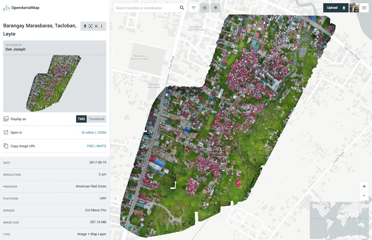
February 18, 2019 • #I wrote up a post for the Fulcrum blog on using OpenAerialMap with Fulcrum Community. As we invest more in building out our Community platform this year, I’m excited to do more with integrating OAM into our tools.
For response deployments using Fulcrum Community, you can also add OpenAerialMap datasets to your Fulcrum account as layers to use in the Fulcrum mobile app.
Using Fulcrum’s map layer feature, you can add OAM datasets using the “Tile XYZ” format. These layers also become available on the mobile app, so contributors on the ground doing damage assessment, for example, can have access to current, high-resolution data for reference. OAM also makes data available in WMTS, and integrates directly with the iD editor and JOSM OpenStreetMap editing tools to simplify tracing buildings, roads, and water bodies.

Related Posts
- Open Buildings — Google publishes an open archive of 1.8 billion building footprints.
- OpenStreetMap is Having a Moment — Joe Morrison updates us on the state corporate investment in OpenStreetMap.
- Tracking Fear: Measuring Safety Perceptions in Saskatoon — A cool post on a study done by a research team in the City of Saskatoon, looking at the perceptions of safety in a downtown area using Fulcrum.