Places: the Tes River Basin
March 11, 2020 • #This one cropped up through Google’s Earth View Chrome extension.
The Tes River runs east to west into northwest Mongolia from the Sayan Mountains in Siberia.
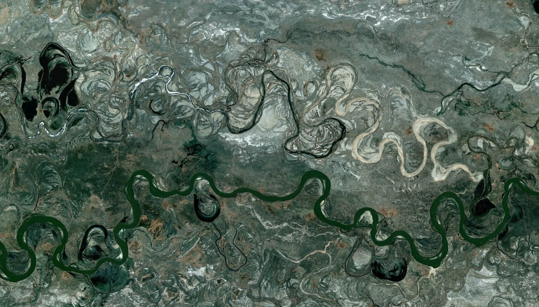
It empties into the Uvs Nuur Basin, a UNESCO World Heritage site.
The river’s floodplain looks amazing from the air, a 10+ mile wide swath with dozens of smaller streams formed as the main course has meandered all over and stranded oxbows and dropped bands of sediment.
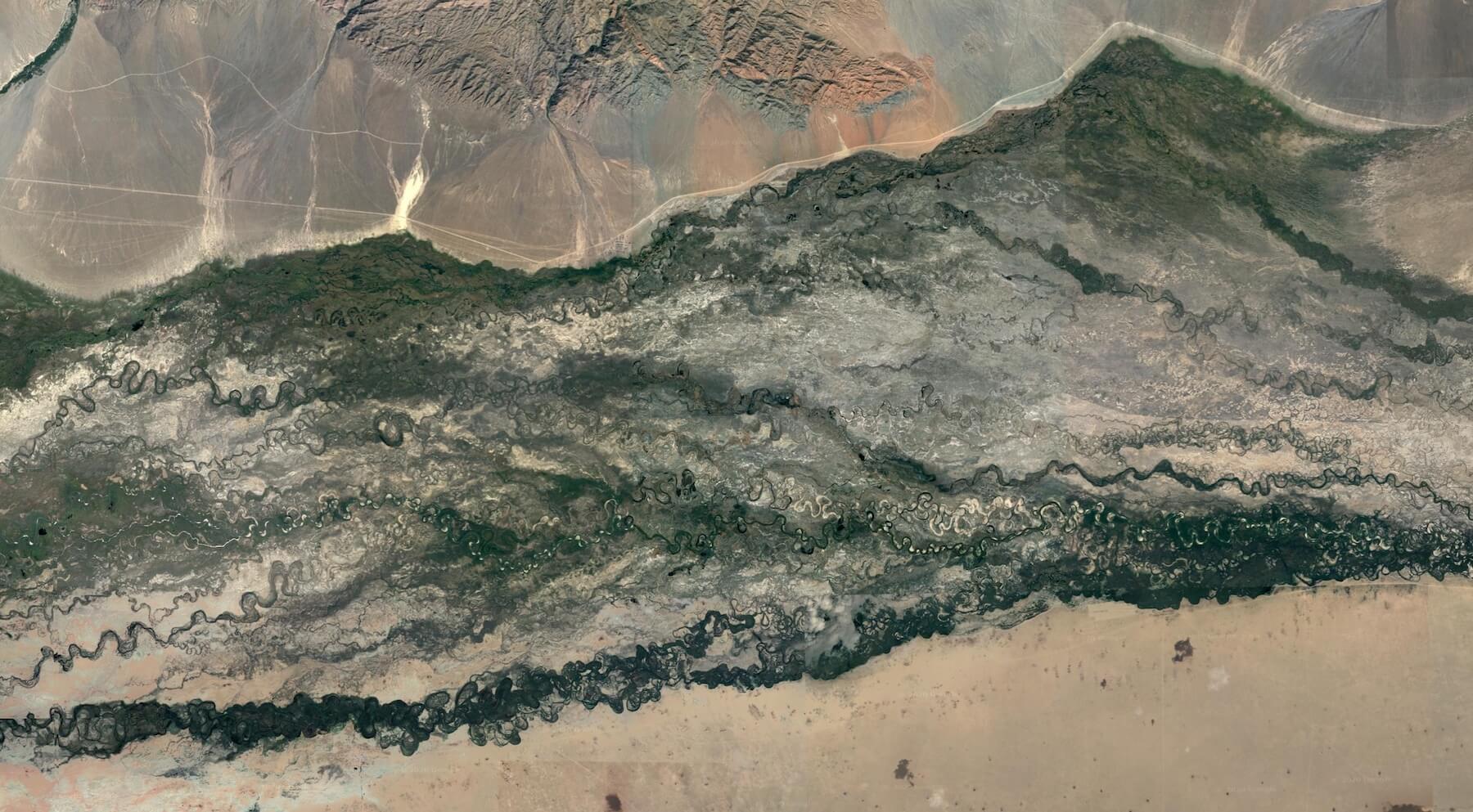
Tes River :: 50°34' N, 93°39' E
✦
✦
Related Posts
- Places: The English Channel — The English Channel with a phytoplankton bloom.
- Places: Remnants of an Ancient Lake — Satellite data shows the expansive ancient shores of Lake Chad.
- Places: Kimbolton Region — Folds anf fjords of Western Australia's Kimbolton coastline.