I’m working on a special side project right now, getting myself back into cartography a bit. The last time I did any serious cartography work was with TileMill, probably 4 or 5 years ago. This time I’m trying my hand with QGIS to see what I can do.
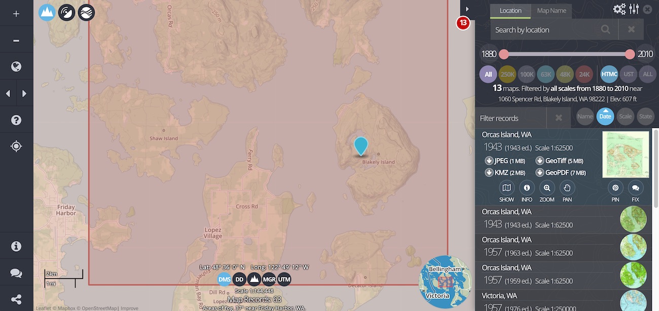
For part of this project I wanted topographic maps, for both data and design inspiration. I was reminded of this excellent tool for browsing and downloading the archive of historical topo maps from the USGS. I have no idea why this isn’t the primary interface for the National Map, but I’m glad it exists. It makes searching and downloading the data so much simpler.
Soon I’ll reveal some progress on this project.