Bryan put together this neat little utility for merging point data with containing polygon attributes with spatial join queries. It uses Turf.js to do the geoprocess in the browser.
NASA’s Curiosity rover has captured its highest-resolution panorama yet of the Martian surface. Composed of more than 1,000 images taken during the 2019 Thanksgiving holiday and carefully assembled over the ensuing months, the composite contains 1.8 billion pixels of Martian landscape. The rover’s Mast Camera, or Mastcam, used its telephoto lens to produce the panorama; meanwhile, it relied on its medium-angle lens to produce a lower-resolution, nearly 650-million-pixel panorama that includes the rover’s deck and robotic arm.
“Easy” because there’s a delay between benefit and cost.
The cost of exercising is immediate. Exercise hurts while you’re doing it, and the harder the exercise the more the hurt. Investing is different. It has a cost, just like exercising. But its costs can be delayed by years.
Whenever there’s a delay between benefit and cost, the benefits always seem easier than they are. And whenever the benefits seem easier than they are, people take risks they shouldn’t. It’s why there are investing bubbles, but not exercise bubbles.
I’m an airplane window seat guy. So when on a flight with good views, I end up gazing out the window for most of the time and capturing my own aerial imagery.
Our Monday flight from Fort Lauderdale to San Juan took us over the Bahamas, so I got some nice scenery to look at during the trip. The first batch was over the centerline of the Bahamian chain, next over Turks and Caicos, then a gap of ocean north of Hispaniola until reaching Puerto Rico.
Here are some of the best shots, with captions for reference.
The Bahamas
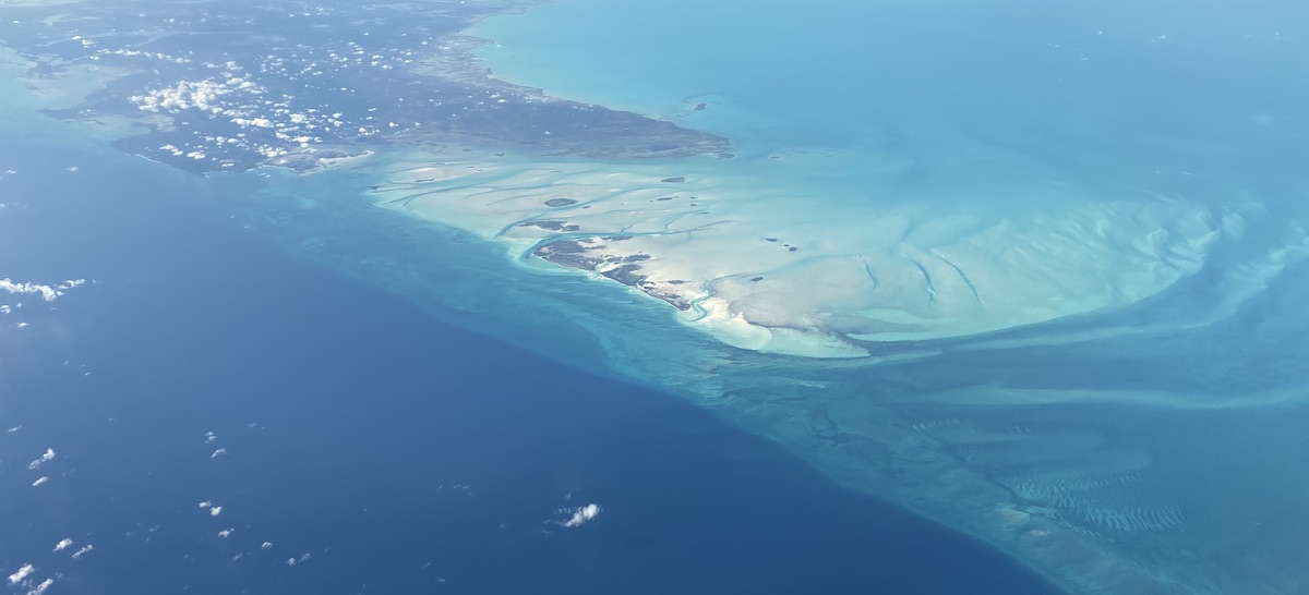
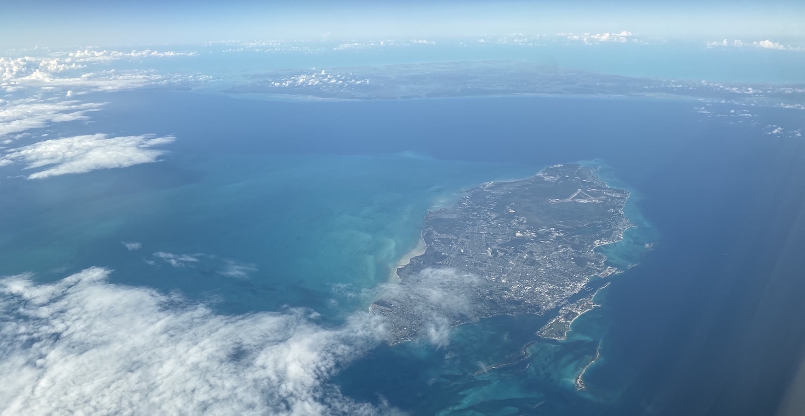
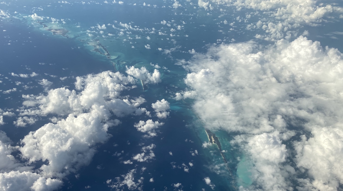
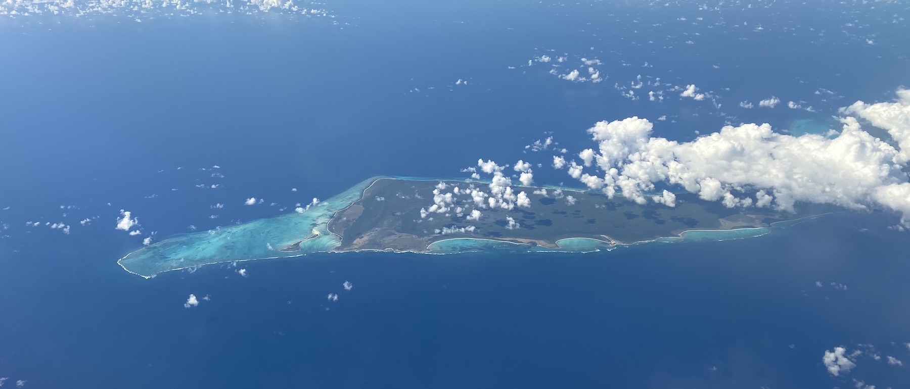
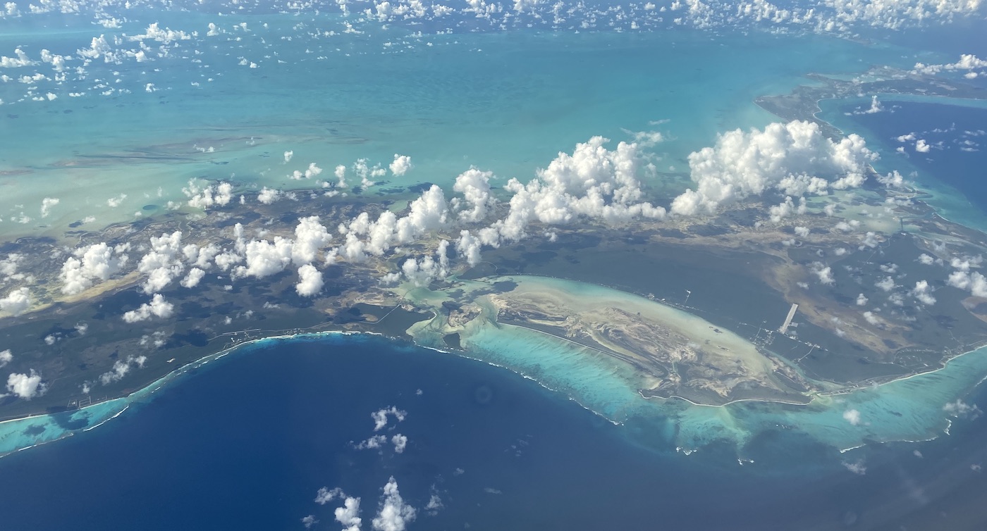
Not long after take-off you first see the massive island of Andros on the west side of the island group. It’s land area is greater than all of the other 700 Bahamian islands combined. There are so many islands scattered across a huge area (about the area of Florida) that make up the Bahamas.
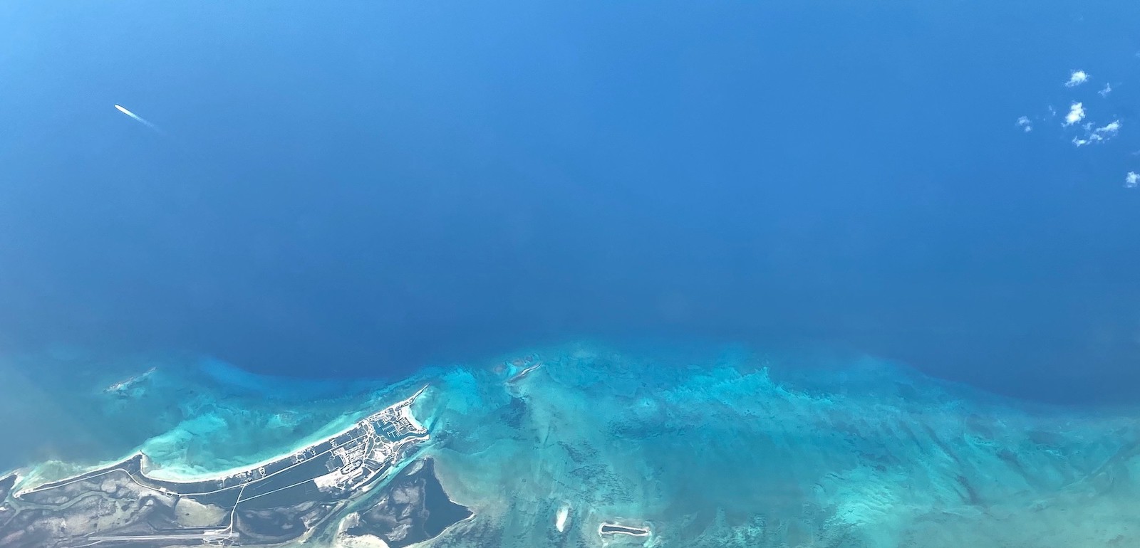
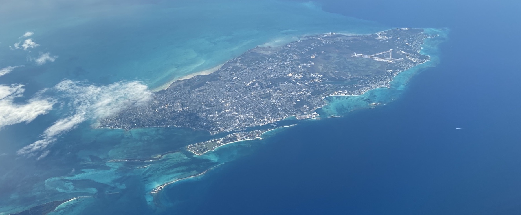
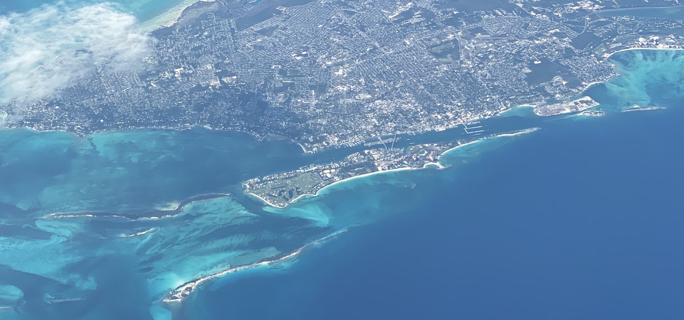
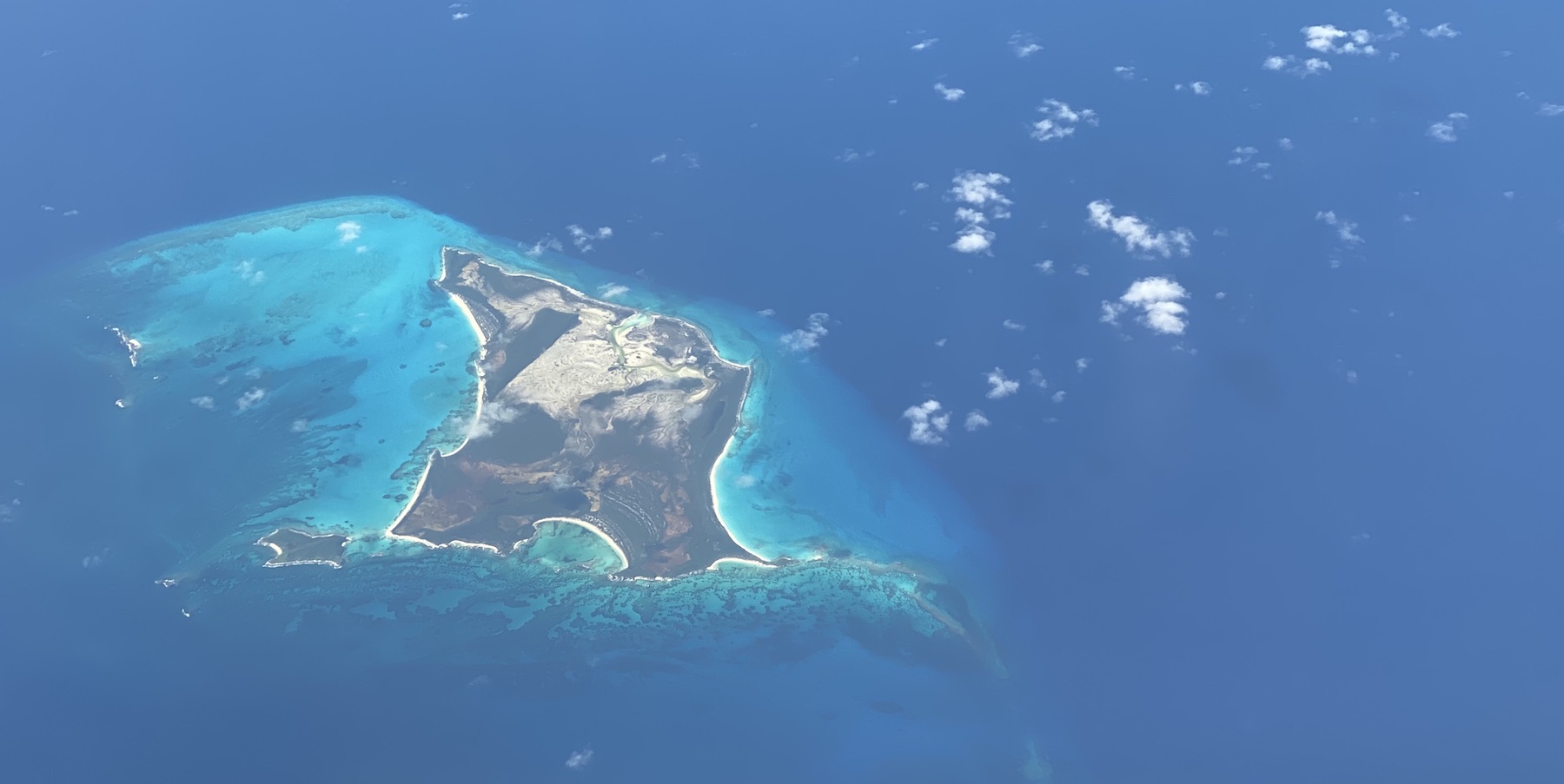
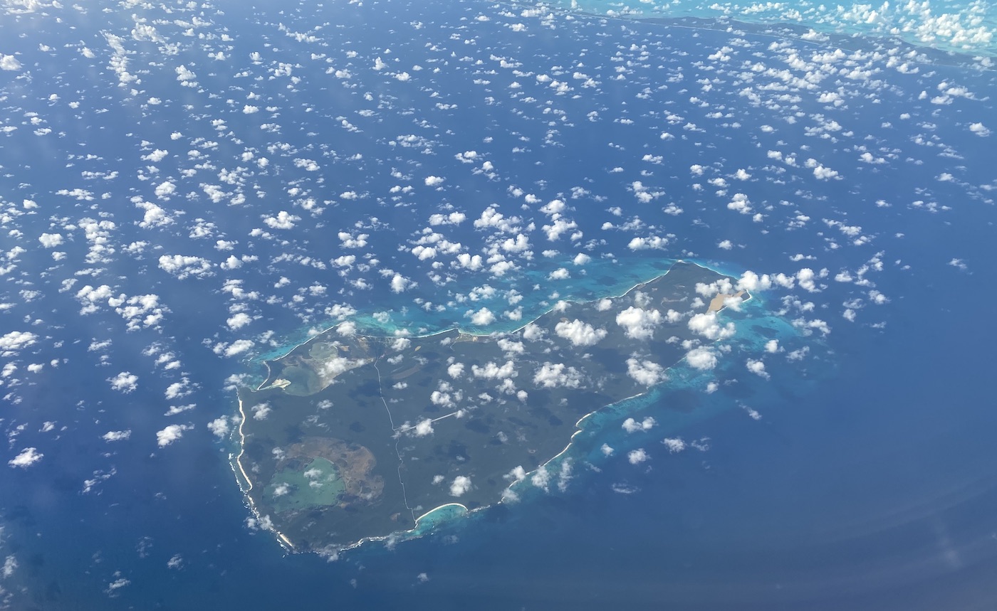
Andros Island's north tip, Joulter Cay, and Long CayChub CayNew Providence — home to the capital, NassauNassau and Paradise IslandNew Providence with Andros in the backgroundExuma & Exuma SoundConception IslandRum CayMayaguana
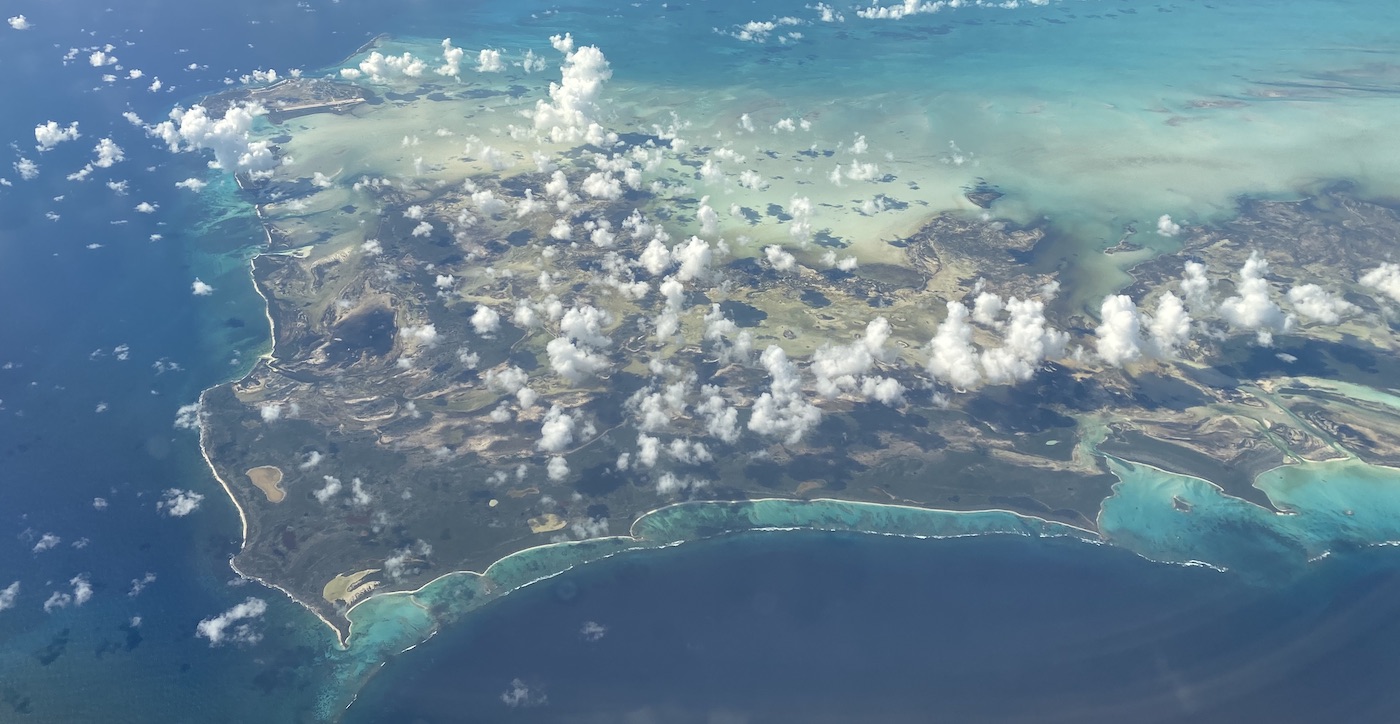
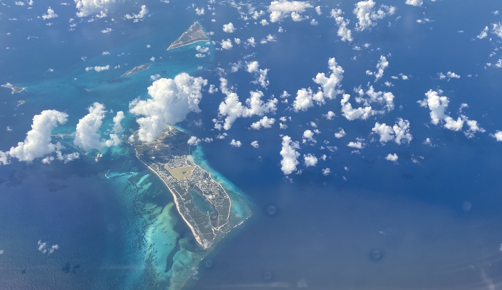
Turks and Caicos
Turks and Caicos is actually a British territory, not its own sovereign nation. I didn’t even remember how close it was to the Bahamas until looking at the map. Most of the people live on Providenciales in the larger Caicos group, and more on the much smaller Grand Turk island.
North CaicosEast CaicosGrand Turk
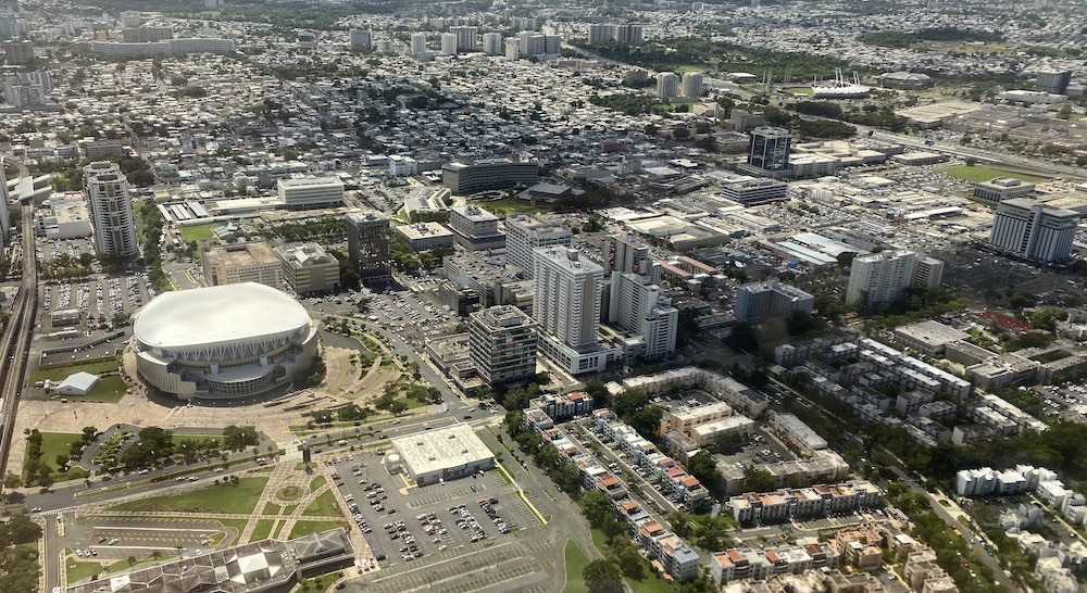
Puerto Rico
An hour or so later we saw the coastline of Puerto Rico, flying right over downtown San Juan on the way in.
Shot from the Oriental Pearl Tower, the picture shows enormous levels of detail composited from 8,700 source photos. Imagine this capability available commercially from microsatellite platforms. Seems like an inevitability.
I, like many, have admired Basecamp for a long time in how they run things, particularly Ryan Singer’s work on product design. This talk largely talks about how they build product and work as an organized team.
This is an open source framework for building documentation sites, built with React. We’re currently looking at this for revamping some of our docs and it looks great. We’ll be able to build the docs locally and deploy with GitHub Pages like always, but it’ll replace the cumbersome stuff we’ve currently got in Jekyll (which is also great, but requires a lot of legwork for documentation sites).
Mesmerizing, hypnotic video shot in 8K pointed straight down from an airplane. It looks like these were originally shot for Apple to use as their “Aerial” screensaver seen on Apple TV.
I could leave this on a loop in my office all day.